
Explorer Flight Missions - Iceland

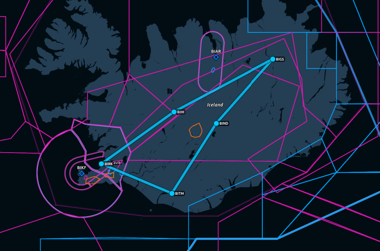
Beyond the Arctic Circle: An Icelandic Adventure
This September, TPC pilots leave the familiar behind and venture into Iceland's wild north and west, where fire, ice, mountains, ocean, and unpredictable weather combine to create one unforgettable flying adventure. This month’s missions are curated by Balazs | TPC333.
Iceland is a country where the landscape seems almost deliberately designed to make pilots stop looking at their instruments and stare out the window. Volcanoes, glaciers, fjords, black-sand coastlines, and enormous stretches of wilderness make this one of the most spectacular places in the world to explore from the air. For September, TPC Explorer heads north to experience Iceland beyond the usual tourist routes, connecting five regional airports on a journey through the country's rugged interior and coastline.
The adventure begins at Reykjavík Airport (BIRK), Iceland's domestic aviation hub and our gateway to the expedition. From the capital, we head north toward Thorsmork (BITM), leaving the more populated southwest behind as the landscape becomes increasingly remote. The flight carries us toward Iceland's northeastern corner, where broad valleys, rugged coastline, and open wilderness replace the familiar surroundings of Reykjavík.
From Thórshöfn, the Explorer continues west to Nyidalur (BIND). The area is essentially a highland valley surrounded by barren volcanic terrain, with dramatic mountains and glaciers in the distance. There is a mountain hut and campsite at Nýidalur, making it a well-known stopping point for people crossing the interior.
Next, the expedition turns toward Grimsstadir (BIGS). This is one of the more remote and delightfully inhospitable parts of the country. Naturally, someone decided this was a good place for an airstrip. The settlement sits along Iceland's Route 1, near the Jökulsá á Fjöllum river. The airstrip is about 2 km west of the Grímsstaðir settlement, east of the river and Ring Road.
From Grimsstadir, we continue south toward Hveravellir (BIHI). It’s about as Icelandic as an airport can possibly get: a gravel strip sitting in the middle of the central Icelandic Highlands, surrounded by essentially nothing but wilderness, geothermal activity, and weather that has opinions.
The final leg brings us back toward Reykjavík, closing the loop on our Icelandic expedition. After five flights across the country's northern and western regions, the return to the capital marks the end of our journey. But the real reward has been everything between the departures and arrivals: remote airfields, dramatic coastlines, volcanic landscapes, and some of the most extraordinary scenery Iceland has to offer.
Five legs. Five regional airports. One spectacular island.
Admin Notes:
You can fly these missions on your own or get a group going - it’s up to you. Make sure you choose an appropriate aircraft and conduct proper flight planning.
To get the Explorer server role (access to Explorers DISCORD channel) and 2500 TPC Points:
Fly each leg described below (500 points per leg).
Leave a comment on this post with details about your journey.
Post pics from your flight in screenshots channel on DISCORD.
[OPTIONAL] Post a video of your landings in streams and videos channel of TPC Discord, for extra 500 TPC Points per video!
Leg 1: BIRK → BITM
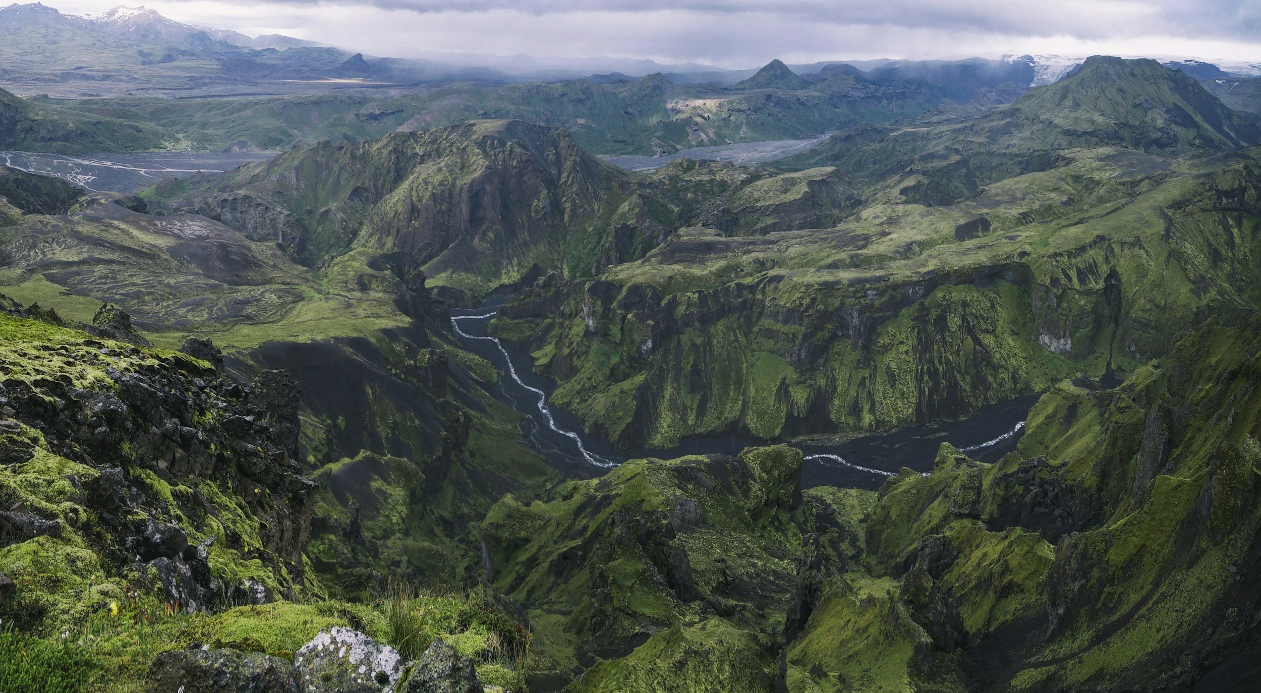
Thorsmork (BITM)
Location: Tucked deep inside the rugged, glacier-carved Þórsmörk (Thormund) valley in South Iceland, situated directly between three massive ice caps—including the infamous Eyjafjallajökull volcano.
Runway & Infrastructure: This is a primitive, uncontrolled backcountry airstrip featuring a short, unpaved grass and gravel runway (09/27) roughly 2,526 feet in length. It features zero runway lighting, no terminal, and no electronic instrument guidance systems (ILS). Because the field sits at the absolute epicenter of the southern volcanic zone, it is highly susceptible to localized volcanic ash trapping and toxic gas accumulation. The surrounding glacial peaks generate violent, unpredictable downdrafts and severe mountain-wave turbulence.
Leg 2: BITM → BIND
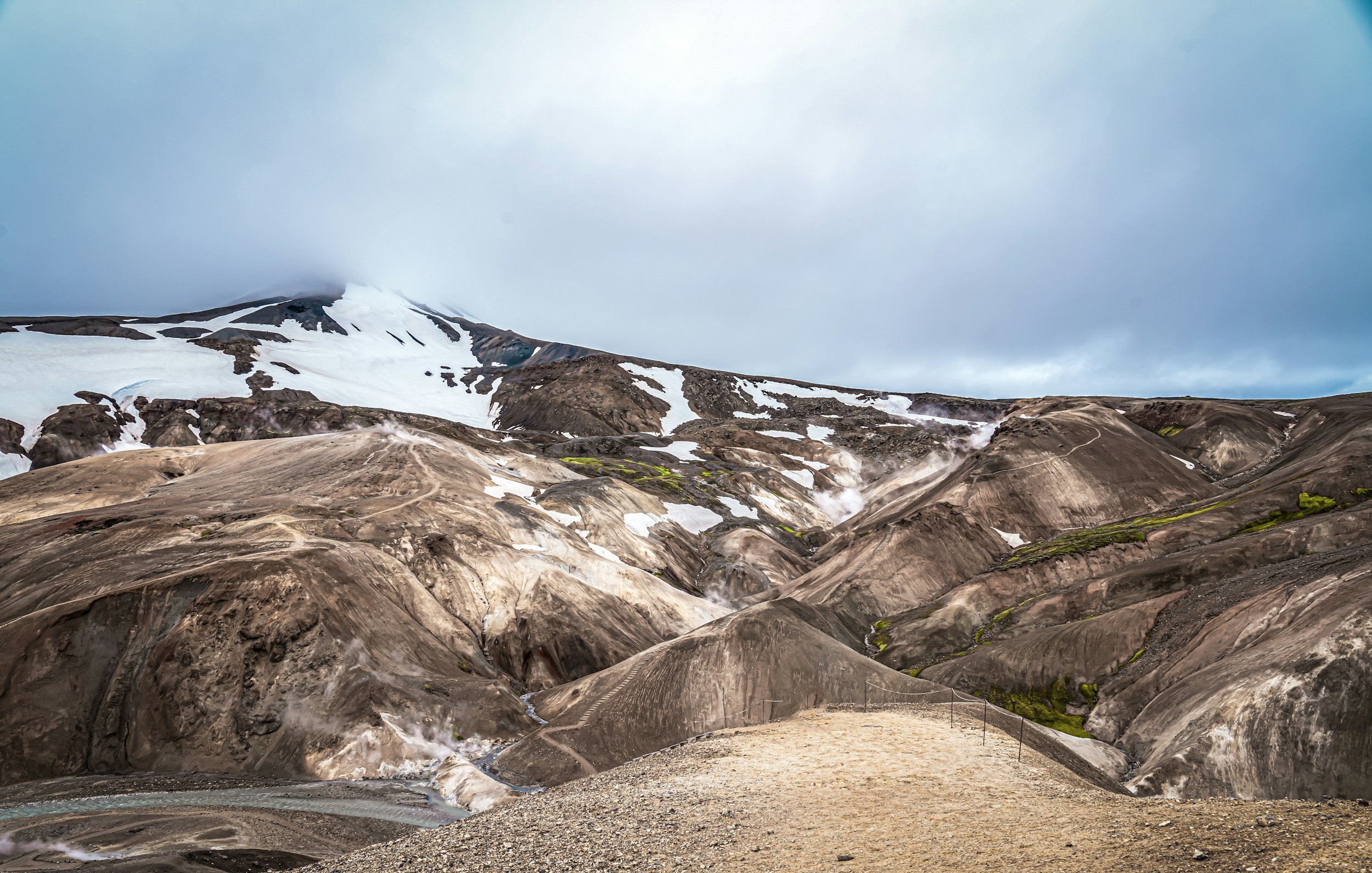
Nyidalur (BIND)
Location: The area is essentially a highland valley surrounded by barren volcanic terrain, with dramatic mountains and glaciers in the distance. There is a mountain hut and campsite at Nýidalur, making it a well-known stopping point for people crossing the interior.
Runway & Infrastructure: A highly remote, completely unstaffed mountain airstrip. It features a single short gravel runway (05/23). There are absolutely no lights, no navigation aids, no terminal buildings, and no aircraft fuel available. Exposed completely to the harsh interior highland elements, you must manage severe crosswinds with zero weather monitoring data or air traffic control guidance.
Leg 3: BIND → BIGS
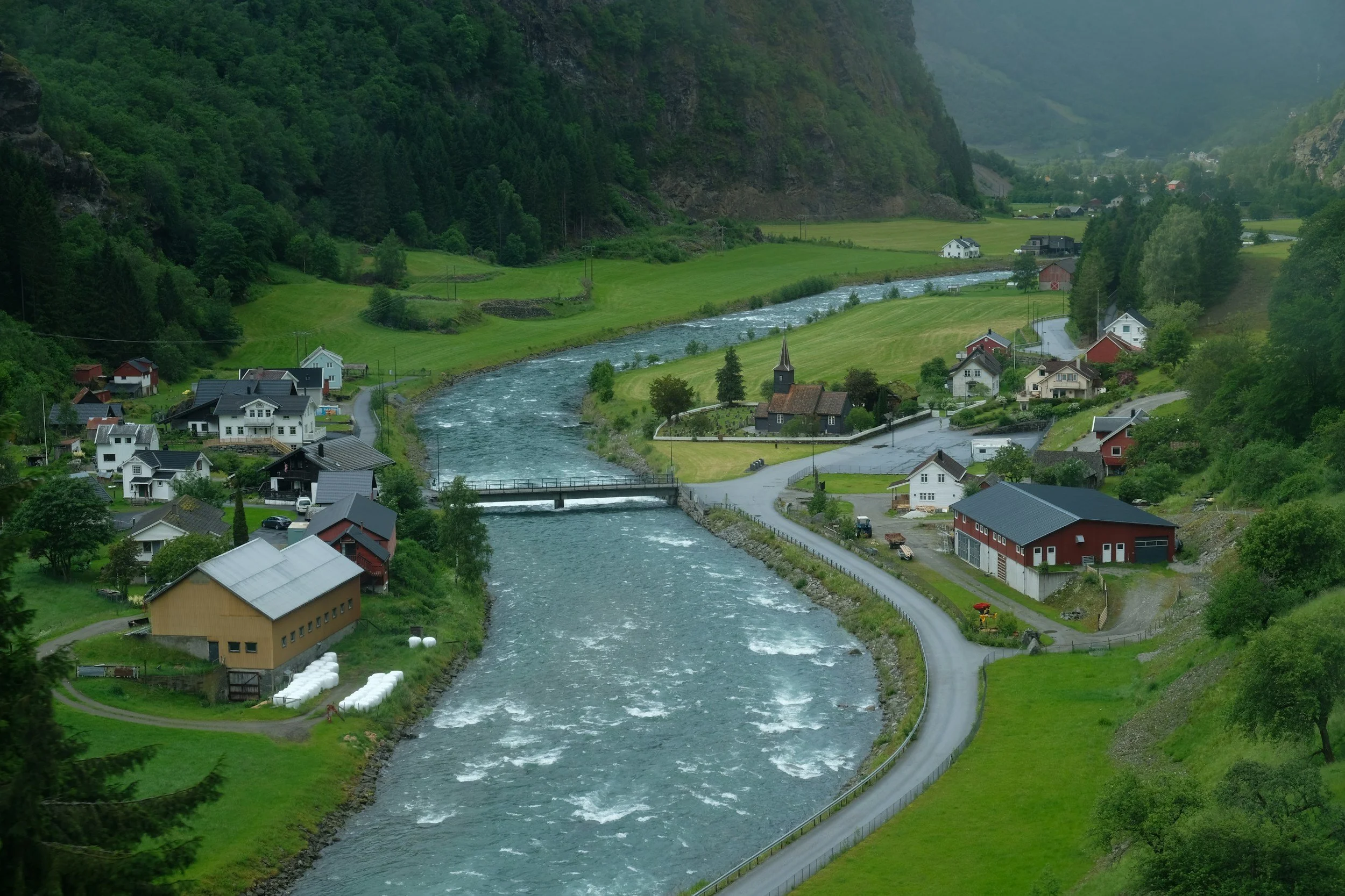
Grimsstadir (BIGS)
Location: This is one of the more remote and delightfully inhospitable parts of the country. Naturally, someone decided this was a good place for an airstrip. The settlement sits along Iceland's Route 1, near the Jökulsá á Fjöllum river. The airstrip is about 2 km west of the Grímsstaðir settlement, east of the river and Ring Road.
Runway & Infrastructure: A basic, uncontrolled backcountry airfield featuring a single 2,083-foot unpaved gravel runway (01/19). The field is entirely unmonitored with no terminal, no hangar facilities, and no electronic navigation aids (ILS/NDB). The short gravel runway presents significant braking and traction challenges. The surrounding terrain is wide open but highly susceptible to severe, shifting Arctic crosswinds blowing off the northern ocean.
Leg 4: BIGS → BIHI
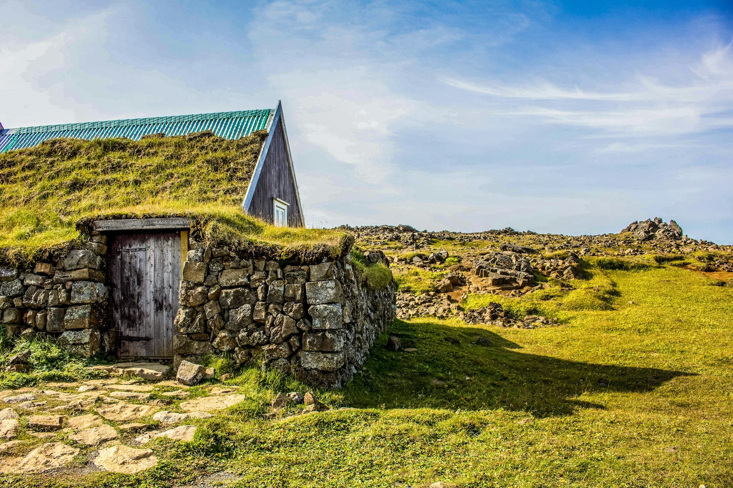
Hveravellir (BIHI)
Location: Hveravellir is about as Icelandic as an airport can possibly get: a gravel strip sitting in the middle of the central Icelandic Highlands, surrounded by essentially nothing but wilderness, geothermal activity, and weather that has opinions.
Runway & Infrastructure: An extremely isolated, unstaffed mountain airstrip featuring a single 2690-foot unpaved gravel runway (17/35). There are absolutely no terminal buildings, no runway lights, and no electronic navigation aids.
Leg 5: BIHI → BIRK
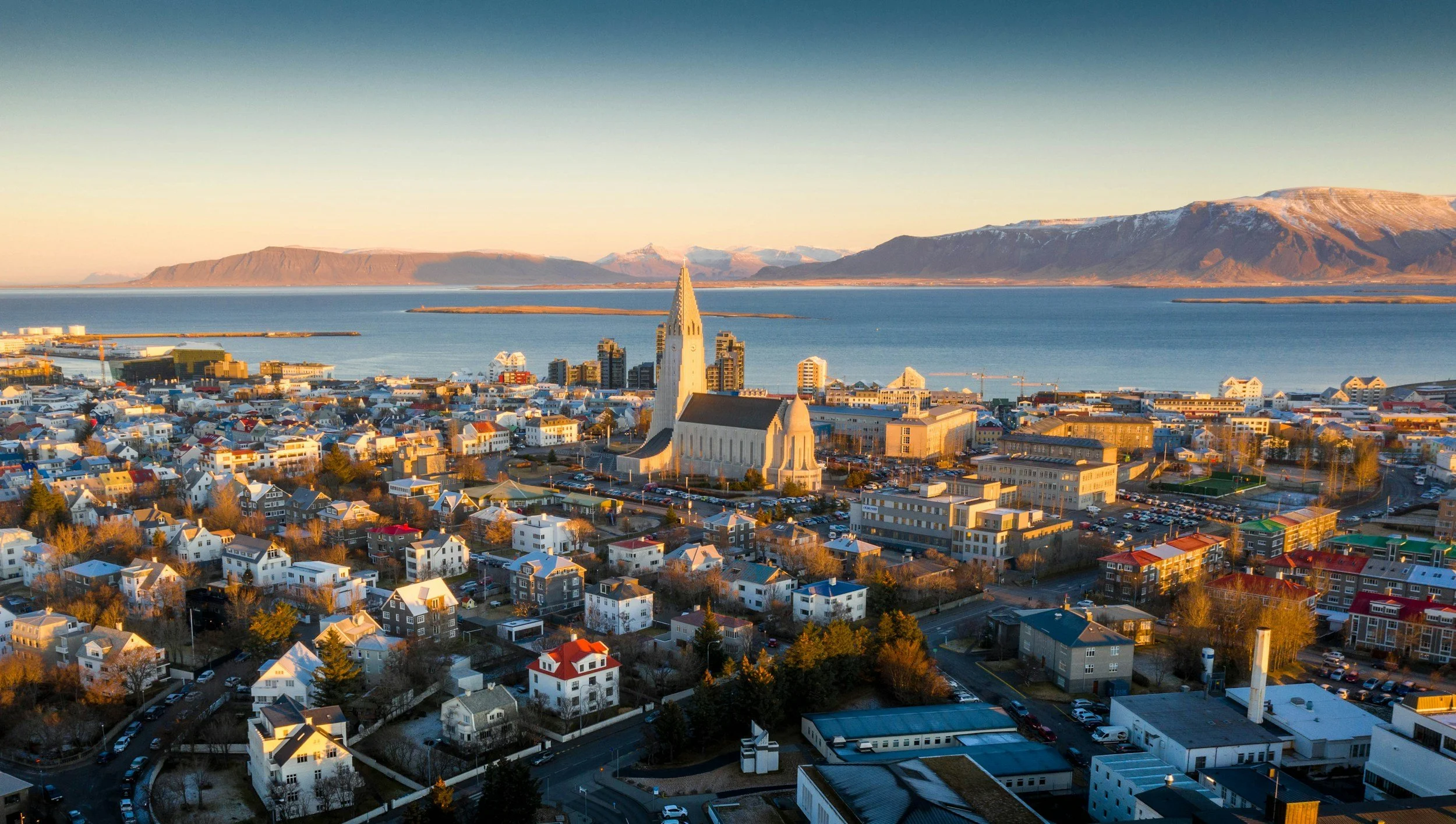
Reykjavík (BIRK)
Location: Located right in the heart of Iceland’s capital city, just minutes from downtown.
Runway & Infrastructure: Features three active asphalt runways (the longest is 5,141 feet) equipped with a full control tower and instrument approach systems.