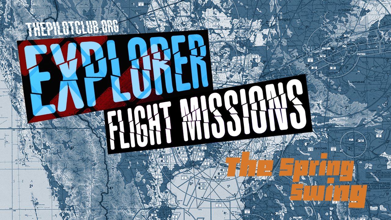
Explorer Flight Missions: Pacific Northwest (PNW)


Our latest Explorer Flight Missions spotlight the Pacific Northwest - an iconic region defined by its challenging weather, diverse landscapes, and historic air routes. Each leg offers a chance to sharpen navigation skills and experience the beauty and complexity of flying in this remarkable part of North America.
The Pacific Northwest has a way of reminding pilots that nature still makes the rules. Mist clings to the ridgelines, rain paints the tarmac, and the coastline stretches into a thousand shades of gray and green. The missions below take us through that raw, beautiful corner of the continent, where every leg promises moody skies, rugged terrain, and the kind of flying that keeps your hands honest on the yoke.
You can fly these flights on your own or get a group going - it’s up to you. Make sure you choose an appropriate aircraft and conduct proper flight planning. Make sure you read useful info provided about each airport, to make your trip successful. Let the adventure begin!
To get the Explorer server role (access to Explorers DISCORD channel) and 3000 TPC Points (plus points for posting optional videos):
Depart the KBVS base and fly to all airports in the order below, returning to KBVS base. Alternatively, you can fly each leg separately and get 500 points for each leg.
Leave a comment on this post with details about your flight.
Post pics from your flight in screenshots channel on DISCORD.
[OPTIONAL] If you post a video of the landing in streams and videos channel of TPC Discord, you will get an extra 500 TPC points!

1. 3W5 - Mears Field Airport
Short runway in a narrow valley with surrounding terrain that creates tricky downdrafts and crosswinds on approach.
Live Airport cameras: HERE

2. 6S9 - Stehekin State Airport
One way in and one way out; this strip is tucked deep in a mountain valley with no go-around option, tight terrain, and unpredictable winds funneled through the gorge.
The most common approach method is to ignore wind direction, unless winds are strong, and land uphill to the west. With a good tailwind this results in difficulty getting down to the runway after passing over the trees on the east threshold, and a guaranteed long landing. Departures are usually to the east to take advantage of descending terrain, with aircraft gently moving towards the center of the valley after passing treetop height. We strongly recommend early morning arrivals and departures when the wind is calm and the temperatures are cool.
Important Runway Advisory:
Per NOTAM 6S9 06/189, the first 300 feet of Runway 13 are closed for both landings and takeoffs due to surface irregularities, including humps, rocks, and uneven ground. Pilots are advised to extend touchdown beyond the closed portion.Recommended Operations: When conditions permit, it is recommended to land using Runway 31 to avoid the compromised section.

3. 27W - Lake Wenatchee State Airport
Short, sloped runway surrounded by rising terrain, which limits approach angles and climb-out options, especially demanding in high density altitude conditions.
Additional useful airport info: HERE

4. S88 - Skykomish State Airport
Extremely tight mountain valley with tall trees at both ends and frequent turbulence or downdrafts from surrounding ridges leaves almost no margin for error on approach or departure.
Live airport cameras & useful info: HERE

5. 1S2 - Darrington Municipal Airport
Challenge: confined valley setting with steep terrain on all sides, causing strong downdrafts and limited escape routes. Precision and commitment on approach are critical.
Airport guide: HERE