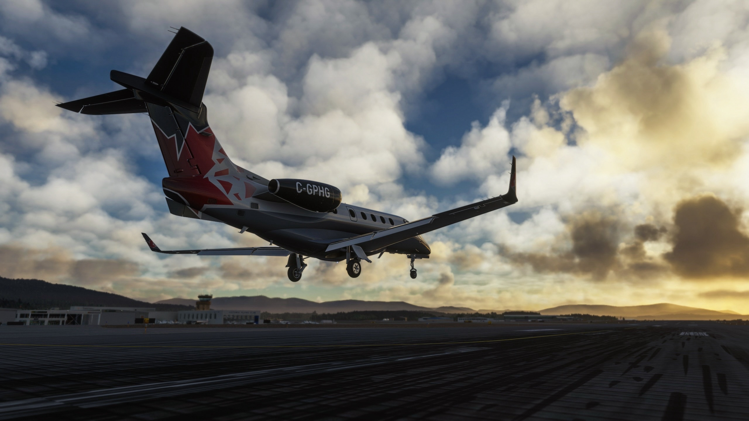
VFR & VATSIM: Who Do I Have to Talk to?

This is the first post in the training series that will cover various aviation topics applicable to flightsim. This article is written by Keith B (ATP/AGI/IGI). Keith is part of TPC Training Team and can be reached via DISCORD @Islepilot, if you have any questions.
When operating under Visual Flight Rules (VFR) using VATSIM, many people aren’t sure if they need to talk to anyone prior to operating in given airspace. As with most things in aviation, there is often more than one answer, and the devil is in the details, but presuming you are operating in visual meteorological conditions (VMC) the two main things to identify are (1) what type of airspace you are operating in, and (2) what VATSIM controllers are available/online in the area.
Disclaimer: I have extensive experience with flight in real life and in VATSIM, but my knowledge specifically applies to US airspace. Some of the information in this article may apply to other countries, but probably not all of it. Those with experience in other areas of the globe can feel free to note differences in the comments.
Communication Requirements in Different Classes of Airspace
Some airspace is very easy to identify, while others can be more difficult. This article isn’t a deep dive on airspace types, so I will just include highlights on chart reading to help you identify the type of airspace you are operating in, and from that you can understand what the basic communication requirements are. Additionally, I am only covering the communication requirements for each type of airspace, not equipment or pilot certification requirements.
Class A
In the U.S., airspace between 18,000 feet above mean sea level (MSL) and FL600 (roughly 60,000 feet MSL) is Class A airspace, and you must be operating under Instrument Flight Rules (IFR) on an IFR clearance. VFR flight is not allowed, and therefore no communication is required.
VFR Bottom Line: No VFR operations are permitted.
Class B
The airspace around the 37 busiest airports within the U.S. is designated as Class B airspace. This airspace is often described as resembling an inverted wedding cake, with the airspace going all the way to the ground around the central airport and with various shelves surrounding the airspace beginning at higher altitudes at increasing ranges from the main airport. This airspace is designed to protect the large amounts of traffic operating at the major airport from traffic that is not under air traffic control.
As a VFR pilot Class B airspace is the most restrictive airspace you need to be aware of, and the most important things for you to know are to operate in Class B airspace, you must establish two-way communications with air traffic control (ATC), and you must receive an explicit clearance to operate within the airspace. In addition to a clearance, you will also receive a squawk code that you will need to set in your transponder to allow ATC to radar identify you.
To identify Class B airspace, there are many map services available on the Internet, but I have found SkyVector to be the most useful. SkyVector has both VFR sectional charts and Terminal Area Charts (TAC) which show increased detail of Class B airspace. On both sectionals and TAC charts, Class B airspace is identified with thick solid blue lines identifying the limits of the airspace.
The image below shows the Denver Class B TAC. At first a TAC can look very confusing, but if you focus on the details of the area you are operating in, it isn’t as bad as it first appears. At the scale of this first image, the main thing to note is the general shape of the airspace denoted by the thick blue lines and that the airspace is made up of many individual pieces.
First, let’s look at the main airport, Denver International Airport, a bit closer. In the center of the image, you see the six runways at KDEN. You can also see the thick blue line that surrounds the airport. Just to the west of the airport you see “120/SFC” which indicates this portion of the Class B airspace begins at the surface (SFC) and extends upward to 12,000 feet MSL. Since the Class B extends down to the surface, there is no way to fly to or from KDEN without entering the Class B airspace, so you must have an explicit clearance to operate here.
Now let’s look at another airport, Platte Valley (18V). This airport is just north of Denver, but when we look at the chart, we can see the “120/70” just to the northeast of the airport. This means the Class B airspace begins at 7000 feet MSL and continues up to 12,000 feet MSL. In this case, if we operate to or from Platte Valley, but we remain below 7000 feet, we will not enter the Class B, so no clearance is needed. But caution is needed. Notice just two miles south of the airport, another section of the Class B begins, and it is designated as “120/60” meaning the Class B begins at 6000 feet MSL, so we need to make sure we don’t enter that airspace while we operate in the traffic pattern at Platte Valley.
The key with TAC charts is to identify your location, and then look for the symbol which indicates the base and ceiling of the airspace surrounding your area of operation. If you look carefully, you will notice the bases vary from the surface up to higher altitudes, but the ceiling is constant across the entire area (12,000 feet MSL for the Denver Class B).
VFR Bottom Line: You must establish two-way communication and receive a clearance to operate in Class B airspace. If a controller is available and you weren’t told “…cleared into/out of/through the XXX Class Bravo airspace” do not enter the airspace. Okay, we made it through the most complex airspace for VFR operations. Everything else is easier from here.
Class C
Class C airspace is somewhat like Class B airspace in that radar service is available and the airspace also has an inverted wedding cake appearance, but the main difference is you do not need an explicit clearance to enter Class B airspace…you only need to establish two-way communications with ATC prior to entering the airspace. Radar services are provided in Class B airspace, so you will be given a squawk code for your transponder.
Class C airspace is identified on sectionals with a thick magenta line as shown in the image below of the Class C airspace surrounding T.F. Green State Airport in Warwick, RI. Notice there are markings such as “41/SFC” which indicate the vertical extents of the airspace (from the surface to 4,100 feet MSL in this case).
As with Class B airspace, Class C airspace is established around a primary airport, but the airspace may encompass other airports in some areas. These other airports are known as “satellite” airports, and if you are departing from a satellite airport without an operating control tower, and you will enter the Class C airspace after you depart, you must contact ATC as soon as practicable after departing.
VFR Bottom Line: You must establish two-way communications with ATC prior to operating in Class C airspace.
Class D
From the VFR pilot perspective, operating in Class D airspace is a lot like operating in Class C airspace in that you must establish two-way communications with ATC prior to operating in the Class D airspace. ATC controlling Class D airspace may or may not have radar available, and you will not be issued a squawk code to operate in Class D. Class D airspace is identified on sectionals with a dashed blue line, as shown below for Aspen-Pitkin County Airport in Aspen, Colorado. Class D airspace always begins at the surface and the number in the dashed box shows the ceiling of the airspace, in this case up to and including 10,300 MSL.
If the number has a minus sign before the number this means the ceiling is up to, but not including the altitude shown. In the image below, Centennial Airport’s Class D airspace is from the surface up to, but NOT including 8,000 feet MSL.
As with Class C airspace, there may be airports other than the primary airport which fall within the Class D airspace. In the image below, both Addington Field and Hicks are within the Denton Enterprise Airport Class D airspace. When departing either of these airports, you should contact ATC as soon as practicable after takeoff.
VFR Bottom Line: You must establish two-way communications with ATC prior to operating in Class D airspace.
Class E & Class G
Class E and Class G airspace have no specific VFR communication requirements, so you are free to operate without talking to ATC. It is a good practice, although it is not legally required, to announce your intentions when operating at airports in Class E and Class G airspace on UNICOM (122.8 in VATSIM), however.
VFR Bottom Line: No communication is required, but self-announcing on UNICOM is highly recommended.
What Does “Establish Communication” Mean
In many of the sections above, the term “establish communication” was used. Just what does that mean and how do you know if communication was established? The term simply means two-way communication, between the pilot and ATC has been fully initiated. What that means is that both parties have identified the other party. In other words, if you call ATC and they respond with your callsign, then communication has been established. This is probably best highlighted through examples. In each of the following four examples, you are north of a Class D airport, and you are calling up with the intention of landing.
Case 1:
You call: “Metro tower, Cessna 123AB, 10 miles north, landing with Papa.”
ATC Responds: “Cessna 123AB, Metro Tower, enter and report a 2-mile left base for runway 12”.
Bottom Line: Communications Established because the tower called you back with your callsign, you are free to enter the Class D airspace.
Case 2:
You call: “Metro tower, Cessna 123AB, 10 miles north, landing with Papa.”
ATC Responds: “Cessna 123AB, Metro Tower, Standby”.
Bottom Line: Communications Established because the tower called you back with your callsign, you are free to enter the Class D airspace.
Case 3:
You call: “Metro tower, Cessna 123AB, 10 miles north, landing with Papa.”
ATC Responds: “Aircraft calling Metro tower, Standby”
Bottom Line: Communications NOT Established because the tower didn’t call back with your call sign…remain clear of the Class D airspace.
Case 4:
You call: “Metro tower, Cessna 123AB, 10 miles north, landing with Papa.”
ATC Responds: “Cessna 123AB, Metro Tower, Remain clear of the Class D airspace”
Bottom Line: Communications Established because the tower called you back with your callsign, but you were told to remain clear of the airspace, so you may not enter the airspace until you receive further instructions.
VATSIM Top-Down Approach
Okay, we now understand the legalities regarding communication requirements for the different types of airspace in the U.S. Now we need to apply this to VATSIM. Since VATSIM is a volunteer network and not every position will be always staffed, a top-down controlling approach was established to provide the best service possible to VATSIM users. What this means is that a controller operating in overlying airspace controls the underlying airspace if an underlying airspace controller isn’t available.
As you may know, there are different types of controllers, and becoming a controller in VATSIM requires a significant amount of training. Because of this, the “lowest” positions are controlled by the newest controllers, and highest positions are only available to those with additional training. The normal progression for controllers in VATSIM is (from lowest to highest):
Clearance Delivery
Ground Control (including Ramp control)
Tower (also known as local control)
Approach/Departure (Class B and Class C radar controllers)
Center (Air Route Traffic Control Center Controllers)
With the top-down approach, a single center controller can provide all the services at a lower level. For instance, say you are departing Centennial Airport (KAPA) near Denver, CO and you are ready to taxi. This airport is Class D airspace and sits below the Denver Class B airspace. To taxi, you would normally call the KAPA ground controller, but if that position isn’t currently staffed, you would move up the chain to tower. If no tower controller is available, then you would call Denver Approach (since KAPA is under the Denver Class B). If approach isn’t available, then you would call the Denver center controller.
What all of this means, is you need to be wary of who might be controlling your airport, even if a ground or tower controller isn’t available. The vPilot client lists all the frequencies that are currently staffed, and you need to think through the top-down approach to see who you should contact.
Other tools also exist for identifying where ATC service is available. See the links below.
Wrap-Up
This article ended up being a bit longer than I expected, but I hope it is helpful in determining whether communication is needed, and if so, whom to contact. Please leave any questions in the comments section or visit The Pilot Club Discord.
Important Resources:
Aviation sectionals and charts: https://skyvector.com/
What controllers are available: https://map.vatsim.net/
What controllers are available (VAT-Spy Application): https://vatspy.rosscarlson.dev/
FAA Regulations: